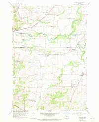
1956 Map of Ballston
USGS Topo · Published 1971About this map
The South Yamhill River meanders across this mid-century landscape where agricultural industry and rail transport define the local economy. The town of Ballston sits central to the survey, served by the Southern Pacific railroad line that connects several small shipping points and settlements. To the southeast, Perrydale is marked by prominent Grain Elevators, signaling the region's role in Oregon's grain production.
Find a feature on this map
26 named features on this map. Tap any name to fly to it.
Don’t see what you’re looking for? This feature index may not catch every label — zoom into the map to look around manually.
Map Details
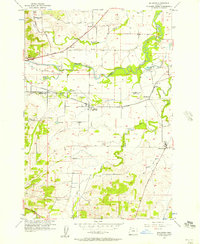
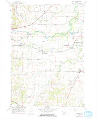
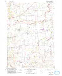
Editions of this 1956 Ballston Map
4 editions found
Other maps of this area

1915 · Rickreall
USGS Topo · 1:31,680

1917 · Salem
USGS Topo · 1:62,500

1924 · Mc Minnville
USGS Topo · 1:48,000

1926 · Mc Minnville
USGS Topo · 1:62,500

1940 · McMinnville
USGS Topo · 1:62,500

1940 · Salem
USGS Topo · 1:62,500

1942 · Sheridan
USGS Topo · 1:62,500

1942 · Dallas
USGS Topo · 1:62,500

1948 · Vancouver
USGS Topo · 1:250,000

1950 · Vancouver
USGS Topo · 1:250,000