Loading...
Loading map...2022 Map of Eudora
USGS Topo · Published 2022About this map
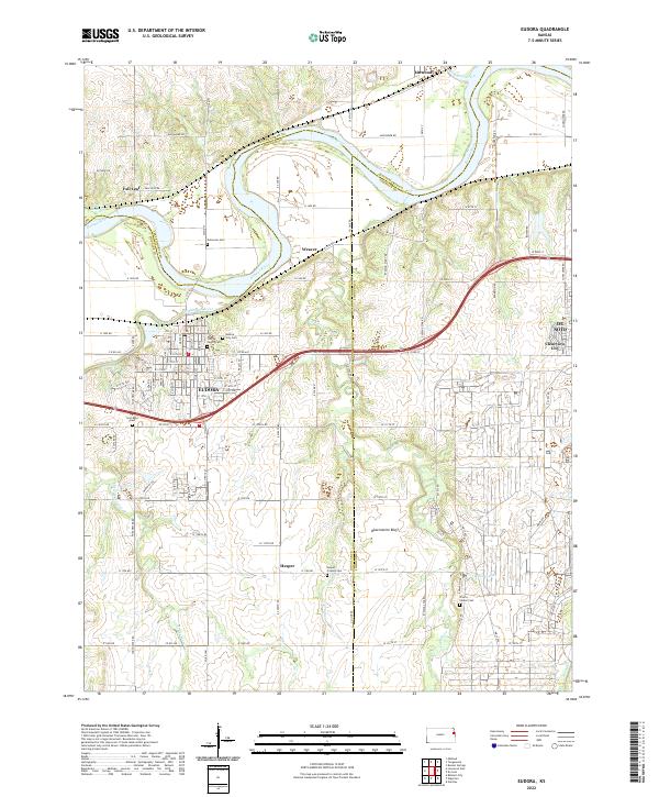
The confluence of the Kansas River and the Wakarusa River serves as a geographic anchor for the region around Eudora. This landscape is defined by the fertile bottomlands near Weaver and the elevated vantage of Observation Bluff. The map captures a detailed distribution of local heritage sites, including the Cem Beni Israel and several rural burial grounds such as Delaware Cem and Hesper Friends Cem.
Find a feature on this map
54 named features on this map. Tap any name to fly to it.
Don’t see what you’re looking for? This feature index may not catch every label — zoom into the map to look around manually.
Map Details
Date Portrayed2022
Date Published2022
PublisherU.S. Geological Survey
Map TypeTopographic
Scale1:24000
Physical Dimensions24 x 29 inches
Editions of this 2022 Eudora Map
This is the sole edition of this map. No revisions or reprints were ever made.
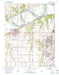
Historical Maps of Johnson County Through Time
Featured Locations
Source Details
SourceU.S. Geological Survey
CopyrightPublic Domain