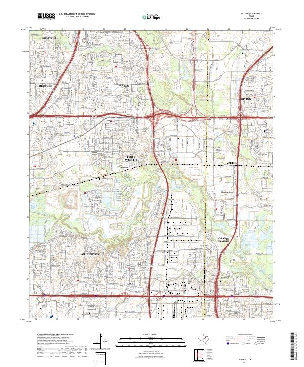
Loading...
Loading map...2022 Map of Euless
USGS Topo · Published 2022About this map
The West Fork Trinity River winds through this heavily developed corridor between Fort Worth and Dallas, defining the southern landscape near Grand Prairie and Arlington. By the early 2020s, the area reflects a dense suburban and industrial network anchored by Euless and Irving, with the sprawling infrastructure of Airport Freeway and I-30 Service Road facilitating massive regional growth.
Find a feature on this map
37 named features on this map. Tap any name to fly to it.
Don’t see what you’re looking for? This feature index may not catch every label — zoom into the map to look around manually.
Map Details
Date Portrayed2022
Date Published2022
PublisherU.S. Geological Survey
Map TypeTopographic
Scale1:24000
Physical Dimensions24 x 29 inches
Editions of this 2022 Euless Map
This is the sole edition of this map. No revisions or reprints were ever made.
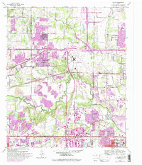
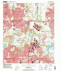
Historical Maps of Arlington Through Time
Featured Locations
Source Details
SourceU.S. Geological Survey
CopyrightPublic Domain