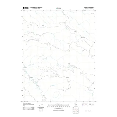
2012 Map of Eureka Hill
USGS Topo · Published 2012About this map
Eureka Hill rises as a central landmark in this coastal Mendocino County landscape, where the Garcia River and its north fork carve deep drainages through the territory. The map reveals a land use pattern defined by scattered homesteads and family-named holdings, such as Piper Ranch and Mount View Ranch, connected by primitive routes like Eureka Hill Rd. The rugged topography is further illustrated by the many watercourses feeding the river system, including Brush Cr, Rolling Brook, and Tin Can Cr.
Find a feature on this map
27 named features on this map. Tap any name to fly to it.
Don’t see what you’re looking for? This feature index may not catch every label — zoom into the map to look around manually.
Map Details
Editions of this 2012 Eureka Hill Map
This is the sole edition of this map. No revisions or reprints were ever made.
Other maps of this area

1943 · Point Arena
USGS Topo · 1:62,500

1943 · Boonville
USGS Topo · 1:62,500

1943 · Navarro
USGS Topo · 1:62,500

1943 · Ornbaun
USGS Topo · 1:62,500

1944 · Saddle Point
USGS Topo · 1:62,500

1944 · Ornbaun
USGS Topo · 1:62,500

1947 · Santa Rosa
USGS Topo · 1:250,000

1949 · Santa Rosa
USGS Topo · 1:250,000

1957 · Ukiah
USGS Topo · 1:250,000

1958 · Santa Rosa
USGS Topo · 1:250,000