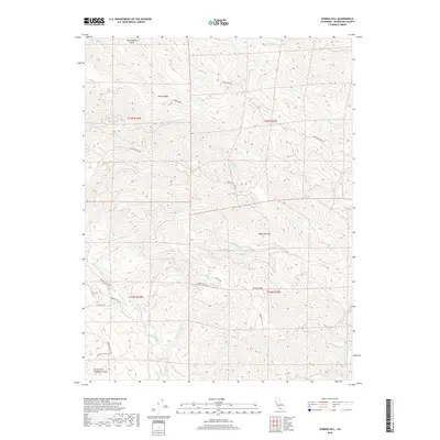
2018 Map of Eureka Hill
USGS Topo · Published 2018About this map
Eureka Hill sits amidst the complex topography of Mendocino County, where the dramatic geological presence of the San Andreas Fault cuts across the northern landscape. This 2018 survey reveals a terrain defined by steep ridges and an intricate network of waterways, including the Garcia River and the N Fork Garcia River. The area is characterized by timbered heights like Adams Ridge and significant clearings such as Jacks Opening, connected by a winding network of primitive and local roads like Mountain View Rd and Tenmile Cutoff Rd. The drainage patterns, from Rolling Brook to North Fork Schooner Gulch, illustrate the watershed dynamics typical of the California coastal range. This map captures the intersection of natural hazards and rural infrastructure in a landscape where human footprints like Pitts Pkwy follow the contours of the challenging earth.
Find a feature on this map
29 named features on this map. Tap any name to fly to it.
Don’t see what you’re looking for? This feature index may not catch every label — zoom into the map to look around manually.
Map Details
Editions of this 2018 Eureka Hill Map
This is the sole edition of this map. No revisions or reprints were ever made.
Other maps of this area

1943 · Point Arena
USGS Topo · 1:62,500

1943 · Boonville
USGS Topo · 1:62,500

1943 · Navarro
USGS Topo · 1:62,500

1943 · Ornbaun
USGS Topo · 1:62,500

1944 · Saddle Point
USGS Topo · 1:62,500

1944 · Ornbaun
USGS Topo · 1:62,500

1947 · Santa Rosa
USGS Topo · 1:250,000

1949 · Santa Rosa
USGS Topo · 1:250,000

1957 · Ukiah
USGS Topo · 1:250,000

1958 · Santa Rosa
USGS Topo · 1:250,000