
1936 Map of Eva
USGS Topo · Published 1936About this map
The Tennessee Valley Divide Line snakes through this 1936 survey, separating the drainage systems of the Tennessee River and the Gulf of Mexico. This geographical spine dictates the layout of rural communities along the border of Morgan and Cullman counties. The landscape is dotted with family-named landmarks and rural institutions, including Dripping Spring Sch and several country churches like Ebenezer Ch and Hamby Chapel.
Find a feature on this map
50 named features on this map. Tap any name to fly to it.
Don’t see what you’re looking for? This feature index may not catch every label — zoom into the map to look around manually.
Map Details
Editions of this 1936 Eva Map
This is the sole edition of this map. No revisions or reprints were ever made.
Other maps of this area

1888 · Cullman
USGS Topo · 1:125,000

1892 · Cullman
USGS Topo · 1:125,000

1927 · Falkville
USGS Topo · 1:24,000

1936 · Hartselle
USGS Topo · 1:24,000

1936 · Somerville
USGS Topo · 1:24,000

1936 · Lawrence Cove
USGS Topo · 1:24,000

1936 · Center Grove
USGS Topo · 1:24,000
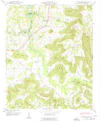
1947 · Center Grove
USGS Topo · 1:24,000

1949 · Falkville
USGS Topo · 1:24,000
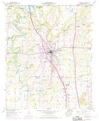
1949 · Hartselle
USGS Topo · 1:24,000