2023 Map of Evansport
USGS Topo · Published 2023About this map
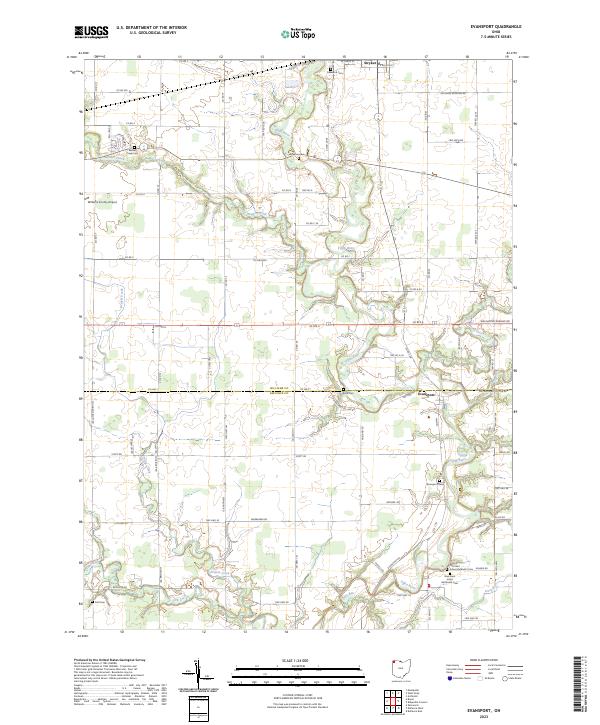
The Tiffin River meanders southward through this landscape, defining the rural character of southeastern Williams County. The unincorporated community of Evansport sits along the river's eastern bank near the border with Defiance County, while the village of Stryker occupies the northern reaches of the map. This area is characterized by its numerous small burial grounds and Methodist heritage, evident in sites like Old Saint Johns Methodist Cem and New Saint Johns Methodist Cem. A network of drainage and local transit is established by Beaver Creek, Prairie Creek, and Doty Run, alongside the Williams County Airport. The transition from Williams to Defiance County is marked by Def Williams Co-Line Rd, reflecting a grid of agricultural commerce and family-named landmarks that have persisted through the early 21st century.
Find a feature on this map
85 named features on this map. Tap any name to fly to it.
Don’t see what you’re looking for? This feature index may not catch every label — zoom into the map to look around manually.
Map Details
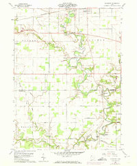
Editions of this 2023 Evansport Map
This is the sole edition of this map. No revisions or reprints were ever made.
Historical Maps of Promised Land Subdivision Through Time
Featured Locations
- Tiffin Township, OH
- Washington Township, OH
- Evansport, Washington Township
- Stryker, Springfield Township
- Shaffers Acres, Pulaski Township