Loading...
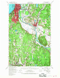
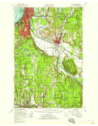
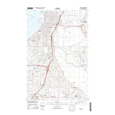
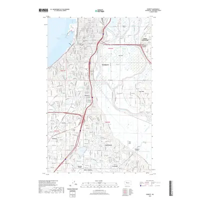
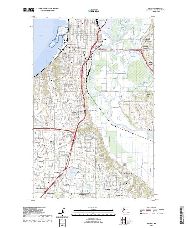
Loading map...1953 Map of Everett
USGS Topo · Published 1968About this map
Everett and its industrial waterfront along Port Gardner anchor this mid-century survey, showing the city's growth alongside a complex network of waterways and railroads. The Snohomish River dominates the central landscape, winding through a delta system of channels like Ebey Slough and Steamboat Slough. Transportation infrastructure is a primary focus, featuring the intersection of the Great Northern RR, the Northern Pacific RR, and the Pacific Highway.
Find a feature on this map
135 named features on this map. Tap any name to fly to it.
Don’t see what you’re looking for? This feature index may not catch every label — zoom into the map to look around manually.
Map Details
Date Portrayed1953
Date Published1968
PublisherU.S. Geological Survey
Map TypeTopographic
Scale1:62,500
Physical Dimensions17 x 21.9 inches
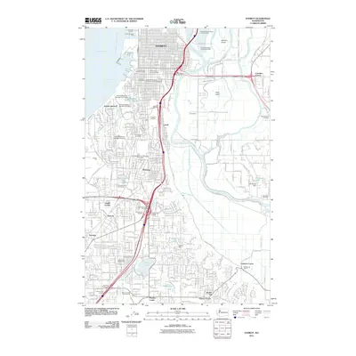
Editions of this 1953 Everett Map
2 editions found
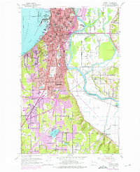
Historical Maps of Everett Through Time
8 maps found


Featured Locations
Source Details
SourceU.S. Geological Survey
CopyrightPublic Domain