Loading...
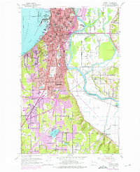
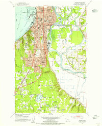
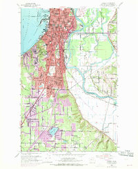
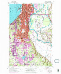
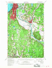
Loading map...1953 Map of Everett
USGS Topo · Published 1976About this map
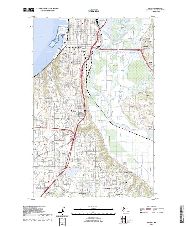
Everett serves as a major industrial and maritime hub where the Snohomish River flows through a complex delta into Port Gardner. The river system is defined by intricate waterways including Ebey Slough, Steamboat Slough, and Union Slough, separating Spencer Island and other low-lying tracts from the growing city. This 1950s survey shows the urban core densely packed with social infrastructure, from the Everett Jr College and North Jr HS to the Armory and Providence Hospital.
Find a feature on this map
61 named features on this map. Tap any name to fly to it.
Don’t see what you’re looking for? This feature index may not catch every label — zoom into the map to look around manually.
Map Details
Date Portrayed1953
Date Published1976
PublisherU.S. Geological Survey
Map TypeTopographic
Scale1:24,000
Physical Dimensions22 x 27 inches
Editions of this 1953 Everett Map
4 editions found
Historical Maps of Everett Through Time
8 maps found


Featured Locations
Source Details
SourceU.S. Geological Survey
CopyrightPublic Domain