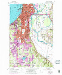
1953 Map of Everett
USGS Topo · Published 1976About this map
The industrial and maritime character of the Everett waterfront is captured here at a time when the Snohomish River delta was a labyrinth of active waterways and timber processing. To the west, Port Gardner and Possession Sound border the city's western edge, while a massive sawmill stands near the river, signaling the importance of the lumber industry. The map reveals the dense institutional fabric of the city, from the Armory and Memorial Stadium to Everett Jr College and the St Dominic Convent. Beyond the city center, the landscape transitions into tidal flats and sloughs like Deadwater Slough and Union Slough, where Spencer Island is defined by a series of levees. To the south, suburban growth is visible in neighborhoods like Beverly Park and Pinehurst, while the presence of the Marshland Sch (Aband) near Ebey Slough offers a specific point of interest for those tracking the disappearance of rural school districts.
Find a feature on this map
58 named features on this map. Tap any name to fly to it.
Don’t see what you’re looking for? This feature index may not catch every label — zoom into the map to look around manually.
Map Details
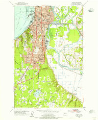
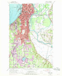
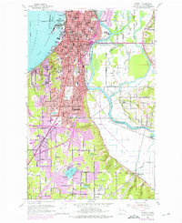
Editions of this 1953 Everett Map
4 editions found
Other maps of this area

1895 · Snohomish
USGS Topo · 1:125,000

1897 · Seattle
USGS Topo · 1:125,000

1911 · Mount Vernon
USGS Topo · 1:125,000

1941 · Marysville
USGS Topo · 1:62,500

1942 · Edmonds
USGS Topo · 1:62,500

1943 · Marysville
USGS Topo · 1:62,500

1943 · Stanwood
USGS Topo · 1:62,500

1944 · Everett
USGS Topo · 1:62,500
1953 · Bothell
USGS Topo · 1:24,000
1953 · Maltby
USGS Topo · 1:24,000