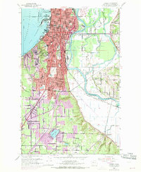
1953 Map of Everett
USGS Topo · Published 1969About this map
The Snohomish River divides this landscape into a dense urban grid and a complex network of tidewater sloughs. In the west, the city of Everett occupies the peninsula between Port Gardner and the river, showing a developed industrial waterfront marked by a Sawmill and the Naval Res. The 1968 revisions, indicated in purple, trace the southward expansion of neighborhoods like Beverly Park and Fairmount along the Pacific Hwy.
Find a feature on this map
66 named features on this map. Tap any name to fly to it.
Don’t see what you’re looking for? This feature index may not catch every label — zoom into the map to look around manually.
Map Details
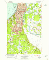
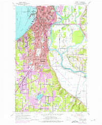
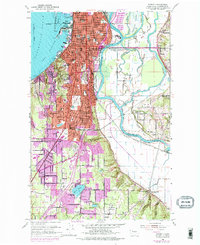
Editions of this 1953 Everett Map
4 editions found
Other maps of this area

1895 · Snohomish
USGS Topo · 1:125,000

1897 · Seattle
USGS Topo · 1:125,000

1911 · Mount Vernon
USGS Topo · 1:125,000

1941 · Marysville
USGS Topo · 1:62,500

1942 · Edmonds
USGS Topo · 1:62,500

1943 · Marysville
USGS Topo · 1:62,500

1943 · Stanwood
USGS Topo · 1:62,500

1944 · Everett
USGS Topo · 1:62,500
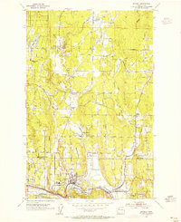
1953 · Bothell
USGS Topo · 1:24,000
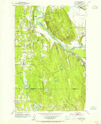
1953 · Maltby
USGS Topo · 1:24,000