2024 Map of Ewing
USGS Topo · Published 2024About this map
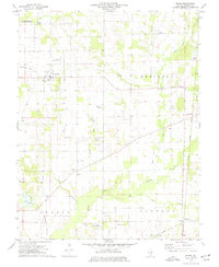
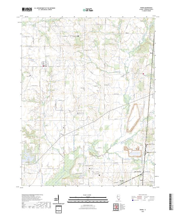
Ewing serves as a central hub in this Franklin County landscape, situated at the intersection of Co Hwy 1 and Co Hwy 12. The surrounding terrain is defined by a dense network of cemeteries, providing significant genealogical value for researchers of the region's early families. Notable burial sites include Thurmond Cem, Middle Fork Cem, and the Phillips Cem, often located near the winding courses of local waterways. The southern portion of the map is dominated by the Middle Fork Big Muddy River and its various tributaries, such as Akin Creek and Sugar Camp Creek. The area’s historical infrastructure is evident in the rail-associated settlement of Akin Junction and the small communities of Frisco and Boothby, which illustrate the rural development patterns of southern Illinois.
Find a feature on this map
83 named features on this map. Tap any name to fly to it.
Don’t see what you’re looking for? This feature index may not catch every label — zoom into the map to look around manually.
Map Details
Editions of this 2024 Ewing Map
This is the sole edition of this map. No revisions or reprints were ever made.