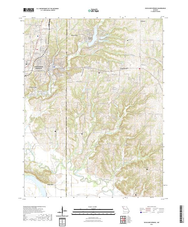
2021 Map of Excelsior Springs
USGS Topo · Published 2021About this map
The Excelsior Springs area is defined by the convergence of the E Fork Fishing River and Dry Fork, creating a landscape marked by varied elevation and numerous small water bodies. As a major regional hub, the city is surrounded by smaller developments such as Crystal Lakes, Wood Heights, and the settlement of Homestead. The rural character of the surrounding countryside is evident in the dense concentration of family and community burial grounds, including Clevenger Cem and Riffe Cem, which offer significant value for genealogical research. Cultural and recreational landmarks like Lake Maurer and Lake Doniphan sit alongside the Excelsior Springs Memorial Airport, reflecting a mix of residential growth and established rural land use. The boundary line between Clay Co and Ray Co bisects the map, illustrating how these communities span county lines along the Fishing River valley.
Find a feature on this map
143 named features on this map. Tap any name to fly to it.
Don’t see what you’re looking for? This feature index may not catch every label — zoom into the map to look around manually.
Map Details
Editions of this 2021 Excelsior Springs Map
This is the sole edition of this map. No revisions or reprints were ever made.
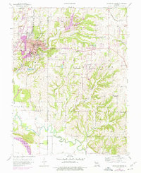
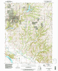
Historical Maps of Excelsior Springs Through Time
3 maps found