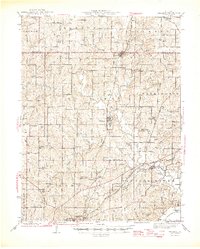
1957 Map of Excelsior Springs
USGS Topo · Published 1976About this map
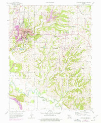
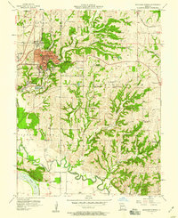
Excelsior Springs centers this mid-century survey, a landscape defined by its mineral waters and established resort infrastructure. The map documents the town's dense core, including the Excelsior Institute, Sunnyside Park, and the famous Mineral Wells that historically drew visitors to the region. Traces of the community's civic history are evident in the concentration of burial grounds such as Crown Hill Cem, Masonic Cem, and Elmwood Cem on the western edge of town.
Find a feature on this map
54 named features on this map. Tap any name to fly to it.
Don’t see what you’re looking for? This feature index may not catch every label — zoom into the map to look around manually.
Map Details
Editions of this 1957 Excelsior Springs Map
2 editions found
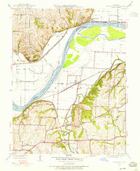
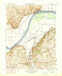
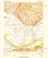
Other maps of this area

1894 · Independence
USGS Topo · 1:125,000
1935 · Buckner
USGS Topo · 1:24,000
1935 · Missouri City
USGS Topo · 1:24,000

1936 · Kearney
USGS Topo · 1:48,000

1942 · Kearney
USGS Topo · 1:62,500
1945 · Kearney
USGS Topo · 1:62,500
1945 · Missouri City
USGS Topo · 1:24,000
1947 · Missouri City
USGS Topo · 1:31,680

1950 · Kansas City
USGS Topo · 1:250,000
1950 · Camden
USGS Topo · 1:24,000