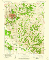
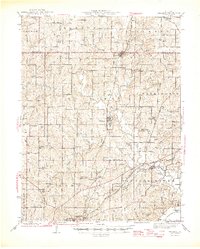
1957 Map of Excelsior Springs
USGS Topo · Published 1958About this map
The therapeutic waters of Excelsior Springs anchor this mid-century survey of the Clay and Ray county border. Famous for its mineral springs, the city's infrastructure includes the Excelsior Institute, Siloam Spg, and the Excelsior Springs Hospital, reflecting its status as a regional health destination. The town layout is dense with schools like Wyman Sch and Lewis Sch, while cemeteries such as Crown Hill Cem and Elmwood Cem provide essential data for local genealogy.
Find a feature on this map
49 named features on this map. Tap any name to fly to it.
Don’t see what you’re looking for? This feature index may not catch every label — zoom into the map to look around manually.
Map Details
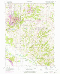
Editions of this 1957 Excelsior Springs Map
2 editions found
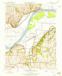
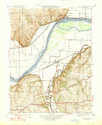
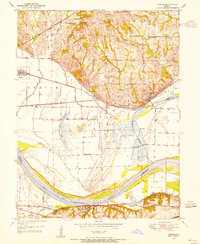
Other maps of this area

1894 · Independence
USGS Topo · 1:125,000
1935 · Buckner
USGS Topo · 1:24,000
1935 · Missouri City
USGS Topo · 1:24,000

1936 · Kearney
USGS Topo · 1:48,000

1942 · Kearney
USGS Topo · 1:62,500
1945 · Kearney
USGS Topo · 1:62,500
1945 · Missouri City
USGS Topo · 1:24,000
1947 · Missouri City
USGS Topo · 1:31,680

1950 · Kansas City
USGS Topo · 1:250,000
1950 · Camden
USGS Topo · 1:24,000