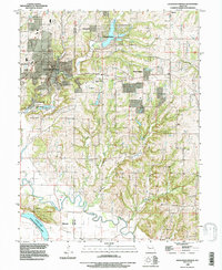
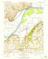
1990 Map of Excelsior Springs
USGS Topo · Published 1997About this map
Excelsior Springs serves as the focal point of this 1990s-era topographic study, illustrating the dense residential development and historic medicinal reputation of the area near Mineral Wells. The map details the complex geography of the Fishing River basin, where numerous tributaries like Shackelford Creek and Bogert Creek carve through the landscape. Genealogists will find a high concentration of burial sites, including Crown Hill Cem, Masonic Cem, and smaller family-named grounds such as Clevenger Cem and Rowland Cem. The northern and eastern portions of the sheet show the emergence of smaller communities like Wood Heights and Crystal Lakes, while the southern border is defined by the wetlands of the Cooley Lake State Conservation Area. This survey documents a transitional period of suburban expansion into the rolling terrain of Clay and Ray Counties.
Find a feature on this map
37 named features on this map. Tap any name to fly to it.
Don’t see what you’re looking for? This feature index may not catch every label — zoom into the map to look around manually.
Map Details
Editions of this 1990 Excelsior Springs Map
This is the sole edition of this map. No revisions or reprints were ever made.
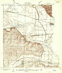
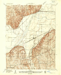
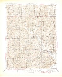
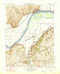
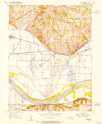
Other maps of this area

1894 · Independence
USGS Topo · 1:125,000
1935 · Buckner
USGS Topo · 1:24,000
1935 · Missouri City
USGS Topo · 1:24,000

1936 · Kearney
USGS Topo · 1:48,000

1942 · Kearney
USGS Topo · 1:62,500
1945 · Kearney
USGS Topo · 1:62,500
1945 · Missouri City
USGS Topo · 1:24,000
1947 · Missouri City
USGS Topo · 1:31,680

1950 · Kansas City
USGS Topo · 1:250,000
1950 · Camden
USGS Topo · 1:24,000