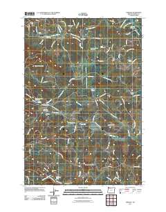
2011 Map of Fairdale
USGS Topo · Published 2011About this map
Moores Valley serves as a central geographic feature of this area, defined by its complex network of reservoirs and timbered ridges. Modern water management is evident through numerous catchments including Haskins Creek Reservoir, Carlton Reservoir, and the Panther Creek Reservoir. The landscape is a mix of working lands and recreational outposts, notably Flying M Ranch with its associated Flying M Airstrip in the northwest, and Rainbow Lodge to the south. Local history is anchored by the Moores Valley Cemetery and Pike Cemetery. Significant elevation is marked by Kutch One Mountain and the High Heaven Lookout Tower, which overlooks the headwaters of the North Yamhill River and Baker Creek.
Find a feature on this map
87 named features on this map. Tap any name to fly to it.
Don’t see what you’re looking for? This feature index may not catch every label — zoom into the map to look around manually.
Map Details
Editions of this 2011 Fairdale Map
This is the sole edition of this map. No revisions or reprints were ever made.
Other maps of this area

1924 · Mc Minnville
USGS Topo · 1:48,000

1926 · Mc Minnville
USGS Topo · 1:62,500

1940 · McMinnville
USGS Topo · 1:62,500

1941 · Yamhill
USGS Topo · 1:62,500

1942 · Sheridan
USGS Topo · 1:62,500

1942 · Yamhill
USGS Topo · 1:62,500

1942 · Fairdale
USGS Topo · 1:62,500

1948 · Vancouver
USGS Topo · 1:250,000

1950 · Vancouver
USGS Topo · 1:250,000

1950 · Vancouver
USGS Topo · 1:250,000