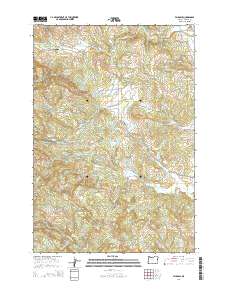
2014 Map of Fairdale
USGS Topo · Published 2014About this map
The settlement of Fairdale and the high ridges of Yamhill County define this landscape, where the N Yamhill River and its numerous tributaries like Hanna Cr and Fairchild Cr carve through the terrain. The area is notable for its natural water features and historical routes, including the NW Trask Toll Rd and NW Toll Rd that once facilitated movement across the hills. Local history is anchored by the Pike Cem and Moores Valley Cem, while the Fairdale Mineral Spring points to the geological character of the region.
Find a feature on this map
78 named features on this map. Tap any name to fly to it.
Don’t see what you’re looking for? This feature index may not catch every label — zoom into the map to look around manually.
Map Details
Editions of this 2014 Fairdale Map
This is the sole edition of this map. No revisions or reprints were ever made.
Other maps of this area

1924 · Mc Minnville
USGS Topo · 1:48,000

1926 · Mc Minnville
USGS Topo · 1:62,500

1940 · McMinnville
USGS Topo · 1:62,500

1941 · Yamhill
USGS Topo · 1:62,500

1942 · Sheridan
USGS Topo · 1:62,500

1942 · Yamhill
USGS Topo · 1:62,500

1942 · Fairdale
USGS Topo · 1:62,500

1948 · Vancouver
USGS Topo · 1:250,000

1950 · Vancouver
USGS Topo · 1:250,000

1950 · Vancouver
USGS Topo · 1:250,000