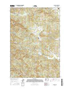
2017 Map of Fairdale
USGS Topo · Published 2017About this map
Fairdale and the surrounding Moores Valley landscape are defined by the winding course of the N Yamhill River and a complex network of timber and access roads. This 2017 study illustrates the intersection of rural residential life and the resource-rich foothills of the Coast Range, where landmarks like Fairdale Mineral Spring and the Flying M Airport speak to both the natural geological features and the private aviation history of the region. The map preserves the names of early settlements and family landmarks, including Oak Ridge and Homestead Ridge.
Find a feature on this map
95 named features on this map. Tap any name to fly to it.
Don’t see what you’re looking for? This feature index may not catch every label — zoom into the map to look around manually.
Map Details
Editions of this 2017 Fairdale Map
This is the sole edition of this map. No revisions or reprints were ever made.
Other maps of this area

1924 · Mc Minnville
USGS Topo · 1:48,000

1926 · Mc Minnville
USGS Topo · 1:62,500

1940 · McMinnville
USGS Topo · 1:62,500

1941 · Yamhill
USGS Topo · 1:62,500

1942 · Sheridan
USGS Topo · 1:62,500

1942 · Yamhill
USGS Topo · 1:62,500

1942 · Fairdale
USGS Topo · 1:62,500

1948 · Vancouver
USGS Topo · 1:250,000

1950 · Vancouver
USGS Topo · 1:250,000

1950 · Vancouver
USGS Topo · 1:250,000