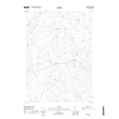
2018 Map of Fairfield
USGS Topo · Published 2018About this map
Fairfield and Saint Rocks anchor this Franklin County landscape, where the headwaters of the Fairfield River and the meandering Black Creek define the local topography. This area is notably dense with small, family-named burial grounds and historical community markers, such as the Saint Rocks Cem and Leach Cem near the northern settlement. The proximity of Saint Patricks Cem and Barlow Cem in the central portion of the map suggests a cluster of early parish and family life. The eastern hills are dominated by the Green Mountains and local heights like Fox Hill, while Fairfield Pond and Switzler Pt provide a significant water feature in the northwest. Named thoroughfares like Chester Arthur Rd and Pumpkin Village Rd trace the agricultural corridors through the lowlands and foothills.
Find a feature on this map
65 named features on this map. Tap any name to fly to it.
Don’t see what you’re looking for? This feature index may not catch every label — zoom into the map to look around manually.
Map Details
Editions of this 2018 Fairfield Map
This is the sole edition of this map. No revisions or reprints were ever made.
Other maps of this area

1913 · Milton
USGS Topo · 1:48,000

1914 · St. Albans
USGS Topo · 1:48,000

1915 · Milton
USGS Topo · 1:62,500

1916 · St. Albans
USGS Topo · 1:62,500

1920 · Franklin Pond
USGS Topo · 1:62,500

1922 · Enosburg Falls
USGS Topo · 1:48,000

1924 · Enosburg Falls
USGS Topo · 1:62,500

1925 · Mount Mansfield
USGS Topo · 1:48,000

1927 · Mount Mansfield
USGS Topo · 1:62,500

1943 · St. Albans
USGS Topo · 1:62,500