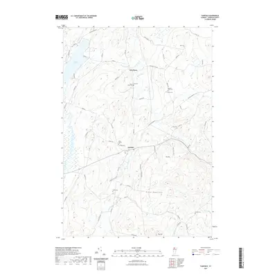
2021 Map of Fairfield
USGS Topo · Published 2021About this map
Fairfield and the nearby settlement of Saint Rocks serve as the primary hubs in this part of Franklin County, where the landscape is defined by the drainage of the Fairfield River and the northern reach of the Green Mountains. The area's settlement history is deeply rooted in its local cemeteries, which are scattered throughout the rural terrain, including Saint Patricks Cem, Waite Cem, and the uniquely named Pumpkin Village Cem.
Find a feature on this map
64 named features on this map. Tap any name to fly to it.
Don’t see what you’re looking for? This feature index may not catch every label — zoom into the map to look around manually.
Map Details
Editions of this 2021 Fairfield Map
This is the sole edition of this map. No revisions or reprints were ever made.
Other maps of this area

1913 · Milton
USGS Topo · 1:48,000

1914 · St. Albans
USGS Topo · 1:48,000

1915 · Milton
USGS Topo · 1:62,500

1916 · St. Albans
USGS Topo · 1:62,500

1920 · Franklin Pond
USGS Topo · 1:62,500

1922 · Enosburg Falls
USGS Topo · 1:48,000

1924 · Enosburg Falls
USGS Topo · 1:62,500

1925 · Mount Mansfield
USGS Topo · 1:48,000

1927 · Mount Mansfield
USGS Topo · 1:62,500

1943 · St. Albans
USGS Topo · 1:62,500