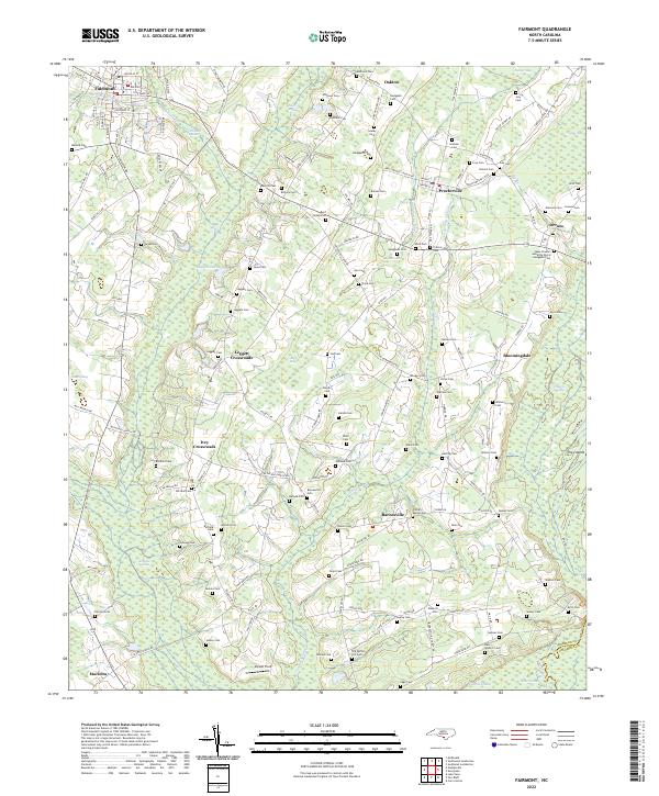
2022 Map of Fairmont
USGS Topo · Published 2022About this map
Fairmont serves as the primary hub in this portion of Robeson County, where the street grid transitions into a landscape dominated by extensive wetlands and family burial grounds. The territory is defined by the complex drainage of the Hog Swamp, Indian Swamp, and Ashpole Swamp, which separate smaller communities like Proctorville, Barnesville, and Marietta. These waterways and their associated basins, including Big Bay and Juniper Bay, have historically dictated the placement of roads and farmsteads.
Find a feature on this map
154 named features on this map. Tap any name to fly to it.
Don’t see what you’re looking for? This feature index may not catch every label — zoom into the map to look around manually.
Map Details
Editions of this 2022 Fairmont Map
This is the sole edition of this map. No revisions or reprints were ever made.
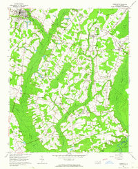
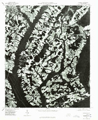
Historical Maps of Ivey Crossroads Through Time
3 maps found