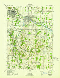
2023 Map of Fairport
USGS Topo · Published 2023About this map
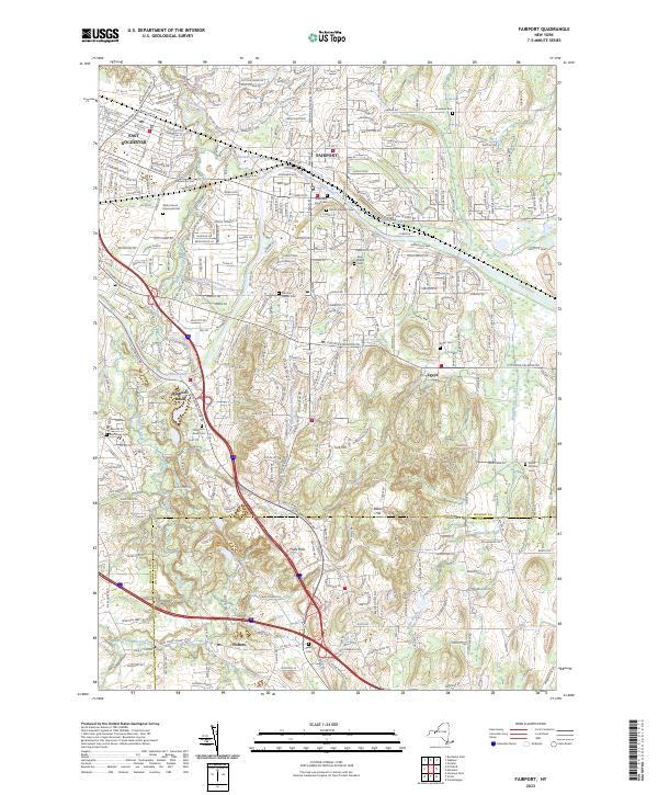
The Erie Canal winds through the heart of this landscape, anchoring a corridor of historic settlements from East Rochester to Egypt. This modern survey documents the suburban and industrial character of eastern Monroe County, where the historic canal path intersects with heavy transport infrastructure like the CSX Railroad. Beyond the canal-side villages, the terrain rises toward Turk Hill and Baker Hill, while numerous cemeteries such as Bushnells Basin Cem and Mount Pleasant Cem provide anchor points for genealogical research. The map also captures the crossing into Ontario County at Fishers, where Main Street Fishers and the Parks Cem mark the southern edge of the quadrangle. Significant water features like Irondequoit Creek and White Brook define the drainage patterns that shaped early industry and settlement in the region.
Find a feature on this map
52 named features on this map. Tap any name to fly to it.
Don’t see what you’re looking for? This feature index may not catch every label — zoom into the map to look around manually.
Map Details
Editions of this 2023 Fairport Map
This is the sole edition of this map. No revisions or reprints were ever made.
Historical Maps of Monroe County Through Time
6 maps found