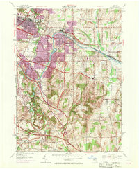
1952 Map of Fairport
USGS Topo · Published 1970About this map
The Erie Canal forms a central spine through this mid-century survey of eastern Monroe County, accompanied by the busy tracks of the Penn Central railroad. This 1952 edition, with later photorevisions, captures the transition of Fairport and East Rochester from industrial canal towns into suburban residential centers. Notable engineering features of the waterway include the Bushnell Basin Guard Gate and Knapps Bridge.
Find a feature on this map
35 named features on this map. Tap any name to fly to it.
Don’t see what you’re looking for? This feature index may not catch every label — zoom into the map to look around manually.
Map Details
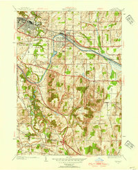
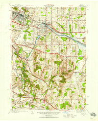
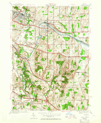
Editions of this 1952 Fairport Map
4 editions found
Other maps of this area

1895 · Rochester
USGS Topo · 1:62,500

1898 · Rochester
USGS Topo · 1:62,500

1900 · Macedon
USGS Topo · 1:62,500

1900 · Canandaigua
USGS Topo · 1:62,500

1901 · Honeoye
USGS Topo · 1:62,500

1903 · Canandaigua
USGS Topo · 1:62,500

1904 · Honeoye
USGS Topo · 1:62,500

1912 · Rochester
USGS Topo · 1:62,500

1920 · Rochester
USGS Topo · 1:62,500

1931 · Mendon Ponds
USGS Topo · 1:24,000