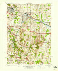
1952 Map of Fairport
USGS Topo · Published 1958About this map
The Erie Canal cuts through this landscape between Fairport and East Rochester, serving as the central industrial and geographic artery of the region. Just south of the canal, the New York Central Railroad parallels the waterway, highlighting a corridor of heavy transport and transit that shaped the local economy. The map reveals a transition from these dense urban centers into the surrounding rural landscape of Perinton, where numerous one-room schoolhouses like School No 8 and School No 3 are still scattered across the countryside.
Find a feature on this map
66 named features on this map. Tap any name to fly to it.
Don’t see what you’re looking for? This feature index may not catch every label — zoom into the map to look around manually.
Map Details
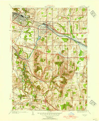
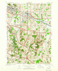
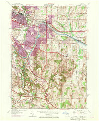
Editions of this 1952 Fairport Map
4 editions found
Other maps of this area

1895 · Rochester
USGS Topo · 1:62,500

1898 · Rochester
USGS Topo · 1:62,500

1900 · Macedon
USGS Topo · 1:62,500

1900 · Canandaigua
USGS Topo · 1:62,500

1901 · Honeoye
USGS Topo · 1:62,500

1903 · Canandaigua
USGS Topo · 1:62,500

1904 · Honeoye
USGS Topo · 1:62,500

1912 · Rochester
USGS Topo · 1:62,500

1920 · Rochester
USGS Topo · 1:62,500

1931 · Mendon Ponds
USGS Topo · 1:24,000