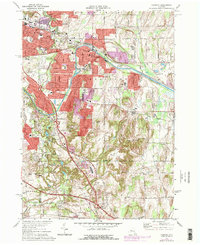
1971 Map of Fairport
USGS Topo · Published 1978About this map
The Erie Canal cuts a distinct path through Fairport and Perinton in this 1970s survey, highlighting the corridor's evolution as it bypasses the expanding suburbs of East Rochester. While modern infrastructure like the New York State Thruway and several golf courses such as Midvale Golf Club and Monroe Golf Club define the changing landscape, numerous historic landmarks remain. The map captures established local hubs like Bushnell Basin and Egypt, alongside smaller hamlets like Railroad Mills and Fishers.
Find a feature on this map
60 named features on this map. Tap any name to fly to it.
Don’t see what you’re looking for? This feature index may not catch every label — zoom into the map to look around manually.
Map Details
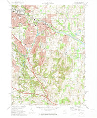
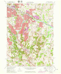
Editions of this 1971 Fairport Map
3 editions found
Other maps of this area

1895 · Rochester
USGS Topo · 1:62,500

1898 · Rochester
USGS Topo · 1:62,500

1900 · Macedon
USGS Topo · 1:62,500

1900 · Canandaigua
USGS Topo · 1:62,500

1901 · Honeoye
USGS Topo · 1:62,500

1903 · Canandaigua
USGS Topo · 1:62,500

1904 · Honeoye
USGS Topo · 1:62,500

1912 · Rochester
USGS Topo · 1:62,500

1920 · Rochester
USGS Topo · 1:62,500

1931 · Mendon Ponds
USGS Topo · 1:24,000