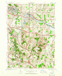
1952 Map of Fairport
USGS Topo · Published 1966About this map
East Rochester and Fairport stand as the primary hubs in this mid-century portrait of suburban and industrial growth along the historic Erie Canal. The landscape is a mix of expanding residential streets and significant local infrastructure, including the Radio Sta WHAM and the major rail lines of the New York Central and Hudson River RR and West Shore RR. Beyond the village centers, the map reveals a network of rural schoolhouses, from School No 2 near the canal to School No 15 at the edge of the Monroe and Ontario county line. The terrain transitions from the developed canal corridor to the wooded elevations of Baker Hill and Turk Hill. Notable local landmarks like the White Haven Memorial Park Cemetery and Midvale Golf Club illustrate the evolving use of the land as it moved away from purely agricultural or milling roots found at Railroad Mills.
Find a feature on this map
55 named features on this map. Tap any name to fly to it.
Don’t see what you’re looking for? This feature index may not catch every label — zoom into the map to look around manually.
Map Details
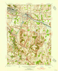
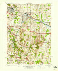
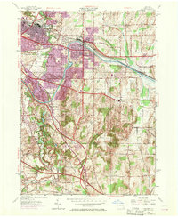
Editions of this 1952 Fairport Map
4 editions found
Other maps of this area

1895 · Rochester
USGS Topo · 1:62,500

1898 · Rochester
USGS Topo · 1:62,500

1900 · Macedon
USGS Topo · 1:62,500

1900 · Canandaigua
USGS Topo · 1:62,500

1901 · Honeoye
USGS Topo · 1:62,500

1903 · Canandaigua
USGS Topo · 1:62,500

1904 · Honeoye
USGS Topo · 1:62,500

1912 · Rochester
USGS Topo · 1:62,500

1920 · Rochester
USGS Topo · 1:62,500

1931 · Mendon Ponds
USGS Topo · 1:24,000