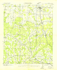
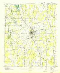
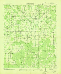
1927 Map of Falkville
USGS Topo · Published 1927About this map
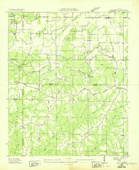
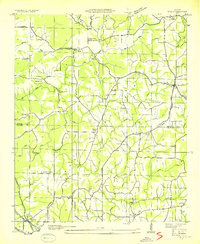
Falkville and Patterson serve as the primary hubs along the Louisville and Nashville RR in this northern Alabama landscape. The corridor defined by U S Highway No 31 and the railroad tracks contrasts with the intricate topography of Sand Mountain to the south. This upland area is marked by the Tennessee Basin Divide, where numerous creeks like Indian Creek and Hurricane Creek originate.
Find a feature on this map
61 named features on this map. Tap any name to fly to it.
Don’t see what you’re looking for? This feature index may not catch every label — zoom into the map to look around manually.
Map Details
Editions of this 1927 Falkville Map
This is the sole edition of this map. No revisions or reprints were ever made.
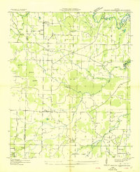
Other maps of this area

1888 · Cullman
USGS Topo · 1:125,000

1892 · Cullman
USGS Topo · 1:125,000

1935 · Danville
USGS Topo · 1:48,000
1936 · Mc Kendry
USGS Topo · 1:24,000
1936 · Hartselle
USGS Topo · 1:24,000
1936 · Eva
USGS Topo · 1:24,000
1936 · Somerville
USGS Topo · 1:24,000
1936 · Stroups Crossroads
USGS Topo · 1:24,000

1938 · Danville
USGS Topo · 1:62,500
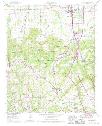
1949 · Falkville
USGS Topo · 1:24,000