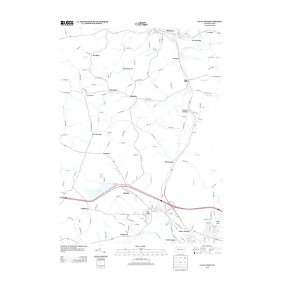
2013 Map of Falls Creek
USGS Topo · Published 2013About this map
Falls Creek serves as a central hub in this depiction of the Clearfield and Jefferson County border, where a network of valley settlements follows the winding paths of Sandy Lick Cr and Falls Cr. The landscape is defined by its industrial roots, evidenced by names like Adrian Furnace, Coal Glen, and Beechtree. Transportation routes such as the Coal Tipple Rd and the proximity of Erie Junction near Brockway highlight the region's historical reliance on mining and rail logistics.
Find a feature on this map
143 named features on this map. Tap any name to fly to it.
Don’t see what you’re looking for? This feature index may not catch every label — zoom into the map to look around manually.
Map Details
Editions of this 2013 Falls Creek Map
This is the sole edition of this map. No revisions or reprints were ever made.
Other maps of this area

1922 · Du Bois
USGS Topo · 1:62,500

1924 · Du Bois
USGS Topo · 1:62,500

1929 · Penfield
USGS Topo · 1:62,500

1932 · Penfield
USGS Topo · 1:62,500

1940 · Hallton
USGS Topo · 1:48,000

1941 · Ridgway
USGS Topo · 1:62,500

1943 · Hallton
USGS Topo · 1:62,500

1944 · Du Bois
USGS Topo · 1:62,500

1944 · Ridgway
USGS Topo · 1:62,500

1957 · Warren
USGS Topo · 1:250,000