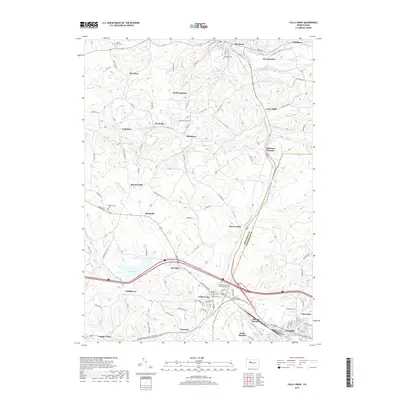
2019 Map of Falls Creek
USGS Topo · Published 2019About this map
Falls Creek and the neighboring industrial grounds of Adrian Furnace sit at the junction of Jefferson and Clearfield Counties, anchoring a landscape shaped by narrow valleys and local infrastructure. This 2019 survey captures the developed corridor stretching toward Dubois, where residential neighborhoods meet the winding path of Sandy Lick Creek. The upland areas are marked by several small settlements including Beechtree, Rockdale, and Coal Glen, many of which grew around early resource extraction and rail lines that once traversed these ridges.
Find a feature on this map
100 named features on this map. Tap any name to fly to it.
Don’t see what you’re looking for? This feature index may not catch every label — zoom into the map to look around manually.
Map Details
Editions of this 2019 Falls Creek Map
This is the sole edition of this map. No revisions or reprints were ever made.
Other maps of this area

1922 · Du Bois
USGS Topo · 1:62,500

1924 · Du Bois
USGS Topo · 1:62,500

1929 · Penfield
USGS Topo · 1:62,500

1932 · Penfield
USGS Topo · 1:62,500

1940 · Hallton
USGS Topo · 1:48,000

1941 · Ridgway
USGS Topo · 1:62,500

1943 · Hallton
USGS Topo · 1:62,500

1944 · Du Bois
USGS Topo · 1:62,500

1944 · Ridgway
USGS Topo · 1:62,500

1957 · Warren
USGS Topo · 1:250,000