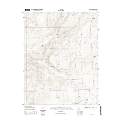
2015 Map of Falls Ridge
USGS Topo · Published 2015About this map
Yosemite National Park occupies the heart of this 2015 study, dominated by the dramatic descent of the Tuolumne River through the Grand Canyon of the Tuolumne River. The landscape is defined by its verticality, where the river drops through a series of major cascades including Waterwheel Falls, Le Conte Falls, and California Falls. To the southeast, the high-altitude hub of Tuolumne Meadows marks a significant transition in terrain near Pothole Dome and the intersection with Tioga Road/Big Oak Flat Rd. Long-distance transit through this high Sierra Nevada environment is centered on the Pacific Crest National Scenic Trail, which winds past Glen Aulin and through the deep corridor of Cold Canyon. From the heights of Tuolumne Peak to the depths of Matterhorn Canyon, the map illustrates the complex drainage systems of Cathedral Cr and Return Cr that feed the Tuolumne watershed.
Find a feature on this map
47 named features on this map. Tap any name to fly to it.
Don’t see what you’re looking for? This feature index may not catch every label — zoom into the map to look around manually.
Map Details
Editions of this 2015 Falls Ridge Map
This is the sole edition of this map. No revisions or reprints were ever made.
Other maps of this area

1896 · Dardanelles
USGS Topo · 1:125,000

1897 · Yosemite
USGS Topo · 1:125,000

1898 · Dardanelles
USGS Topo · 1:125,000

1900 · Yosemite
USGS Topo · 1:125,000

1901 · Mt. Lyell
USGS Topo · 1:125,000

1903 · Yosemite
USGS Topo · 1:125,000

1909 · Yosemite
USGS Topo · 1:125,000

1909 · Bridgeport
USGS Topo · 1:125,000

1911 · Bridgeport
USGS Topo · 1:125,000

1920 · Bridgeport
USGS Topo · 1:125,000