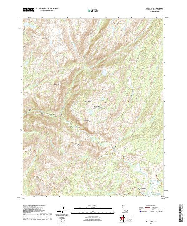
2021 Map of Falls Ridge
USGS Topo · Published 2021About this map
Tuolumne Wild and Scenic River carves a dramatic path through this high-altitude landscape in Yosemite National Park. The survey highlights the junction of the Grand Canyon of the Tuolumne River near Glen Aulin, where hikers transition between the high sierra plateaus and the deep canyons below. The terrain is marked by prominent granite features like Pothole Dome and Tuolumne Peak, while water systems such as Cathedral Cr and Return Creek drain the surrounding wilderness.
Find a feature on this map
44 named features on this map. Tap any name to fly to it.
Don’t see what you’re looking for? This feature index may not catch every label — zoom into the map to look around manually.
Map Details
Editions of this 2021 Falls Ridge Map
This is the sole edition of this map. No revisions or reprints were ever made.
Other maps of this area

1896 · Dardanelles
USGS Topo · 1:125,000

1897 · Yosemite
USGS Topo · 1:125,000

1898 · Dardanelles
USGS Topo · 1:125,000

1900 · Yosemite
USGS Topo · 1:125,000

1901 · Mt. Lyell
USGS Topo · 1:125,000

1903 · Yosemite
USGS Topo · 1:125,000

1909 · Yosemite
USGS Topo · 1:125,000

1909 · Bridgeport
USGS Topo · 1:125,000

1911 · Bridgeport
USGS Topo · 1:125,000

1920 · Bridgeport
USGS Topo · 1:125,000