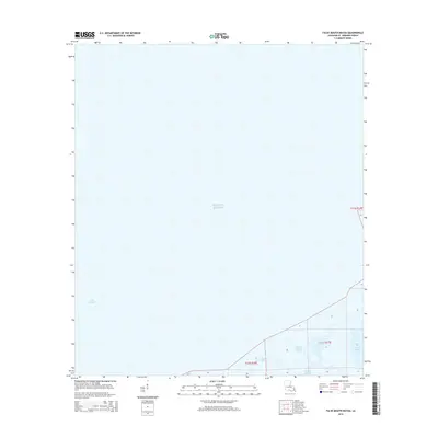
2015 Map of False Mouth Bayou
USGS Topo · Published 2015About this map
False Mouth Bayou and the surrounding marshlands of Saint Bernard Parish define this aquatic landscape where the Mississippi Sound meets the Gulf of Mexico. The area is a complex network of saltwater lagoons and tidal channels, most notably Magill Lagoon and the winding course of Bayou Magill. This 2015 survey illustrates the fragile coastal geography of southeastern Louisiana, documenting the intricate boundary between open water and the submerged interior of the Lakes of Bayou Marron. The absence of developed roads or settlements highlights the isolation of these wetlands, emphasizing a landscape shaped entirely by the ebb and flow of the tide against the shoreline of Lake Borgne.
Find a feature on this map
10 named features on this map. Tap any name to fly to it.
Don’t see what you’re looking for? This feature index may not catch every label — zoom into the map to look around manually.
Map Details
Editions of this 2015 False Mouth Bayou Map
This is the sole edition of this map. No revisions or reprints were ever made.
Other maps of this area

1893 · Rigolets
USGS Topo · 1:62,500

1893 · Shell Beach
USGS Topo · 1:62,500

1893 · Toulme
USGS Topo · 1:62,500

1895 · Bodreau
USGS Topo · 1:62,500

1935 · English Lookout
USGS Topo · 1:31,680

1935 · Grand Island Pass
USGS Topo · 1:31,680

1936 · Rigolets
USGS Topo · 1:62,500

1939 · Shell Beach
USGS Topo · 1:62,500

1941 · Shell Beach
USGS Topo · 1:62,500

1946 · Lake Eugenie
USGS Topo · 1:31,680