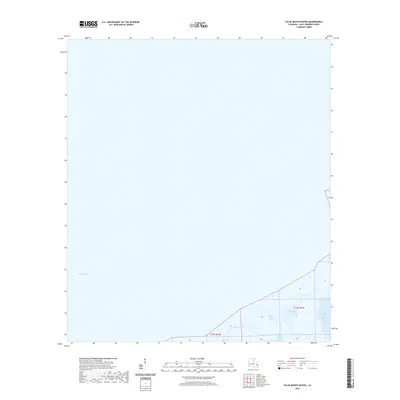
2020 Map of False Mouth Bayou
USGS Topo · Published 2020About this map
The coastal wetlands of Saint Bernard Parish are defined by the expansive waters of Lake Borgne and a intricate network of tidal channels. In the southeastern corner of the quadrangle, False Mouth Bayou and Mosquito Inlet illustrate the fluid boundary between the marsh and the open gulf. This landscape is characterized by its isolation and the dominance of hydrographic features such as the Lakes of Bayou Marron and the winding course of Bayou Magill. The lack of terrestrial infrastructure or settlements on this 2020 survey highlights the preserved, aquatic nature of this coastal region. The map provides a precise record of the shoreline and water bodies as they existed before further coastal erosion or environmental shifts, documenting the specific configuration of the Louisiana marshland.
Find a feature on this map
7 named features on this map. Tap any name to fly to it.
Don’t see what you’re looking for? This feature index may not catch every label — zoom into the map to look around manually.
Map Details
Editions of this 2020 False Mouth Bayou Map
This is the sole edition of this map. No revisions or reprints were ever made.
Other maps of this area

1893 · Rigolets
USGS Topo · 1:62,500

1893 · Shell Beach
USGS Topo · 1:62,500

1893 · Toulme
USGS Topo · 1:62,500

1895 · Bodreau
USGS Topo · 1:62,500

1935 · English Lookout
USGS Topo · 1:31,680

1935 · Grand Island Pass
USGS Topo · 1:31,680

1936 · Rigolets
USGS Topo · 1:62,500

1939 · Shell Beach
USGS Topo · 1:62,500

1941 · Shell Beach
USGS Topo · 1:62,500

1946 · Lake Eugenie
USGS Topo · 1:31,680