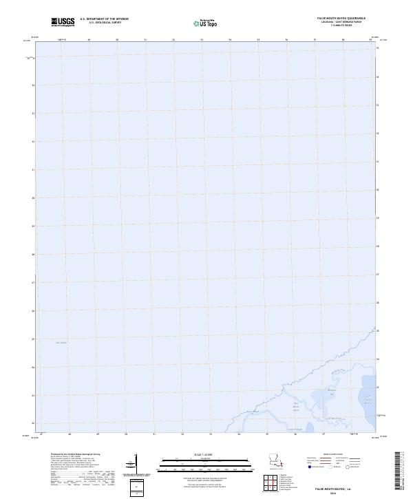
2024 Map of False Mouth Bayou
USGS Topo · Published 2024About this map
Lake Borgne dominates the vast aquatic landscape of this coastal Saint Bernard Parish survey, where the terrestrial boundary dissolves into a complex network of saline waterways. The map centers on the transition from open water to the marshy threshold of the Louisiana coast, featuring prominent hydrological landmarks such as False Mouth Bayou and the winding Bayou Magill. This area, characterized by its shifting inlets and tidal influence, includes the Mosquito Inlet and the Lakes of Bayou Marron, illustrating the intricate hydrography of the Mississippi River Delta region. This specific quadrangle focuses primarily on the maritime and wetland environment, where survey lines like t12s r16e and t12s r17e segment the water and marsh into a formal grid.
Find a feature on this map
7 named features on this map. Tap any name to fly to it.
Don’t see what you’re looking for? This feature index may not catch every label — zoom into the map to look around manually.
Map Details
Editions of this 2024 False Mouth Bayou Map
This is the sole edition of this map. No revisions or reprints were ever made.
Other maps of this area

1893 · Rigolets
USGS Topo · 1:62,500

1893 · Shell Beach
USGS Topo · 1:62,500

1893 · Toulme
USGS Topo · 1:62,500

1895 · Bodreau
USGS Topo · 1:62,500

1935 · English Lookout
USGS Topo · 1:31,680

1935 · Grand Island Pass
USGS Topo · 1:31,680

1936 · Rigolets
USGS Topo · 1:62,500

1939 · Shell Beach
USGS Topo · 1:62,500

1941 · Shell Beach
USGS Topo · 1:62,500

1946 · Lake Eugenie
USGS Topo · 1:31,680