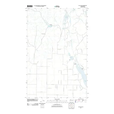
2011 Map of Fan Lake
USGS Topo · Published 2011About this map
The West Branch Little Spokane River anchors a chain of glacial water bodies, creating a landscape defined by hydrology and recreational land use. At the center of this network lies Fan Lake, home to the regional landmark Camp Reed. The river continues southward through Spring Meadow toward the northern tip of Eloika Lake, where the small settlement of Sandy Beach is situated. These areas represent a distinct pattern of seasonal and residential growth centered around the river corridor.
Find a feature on this map
54 named features on this map. Tap any name to fly to it.
Don’t see what you’re looking for? This feature index may not catch every label — zoom into the map to look around manually.
Map Details
Editions of this 2011 Fan Lake Map
This is the sole edition of this map. No revisions or reprints were ever made.
Other maps of this area

1901 · Spokane
USGS Topo · 1:125,000

1927 · Chewelah
USGS Topo · 1:125,000

1930 · Chewelah
USGS Topo · 1:125,000

1936 · Newport
USGS Topo · 1:96,000

1942 · Newport
USGS Topo · 1:125,000

1944 · Clayton
USGS Topo · 1:62,500

1949 · Deer Park
USGS Topo · 1:62,500

1950 · Clayton
USGS Topo · 1:62,500

1951 · Deer Park
USGS Topo · 1:62,500

1955 · Spokane
USGS Topo · 1:250,000