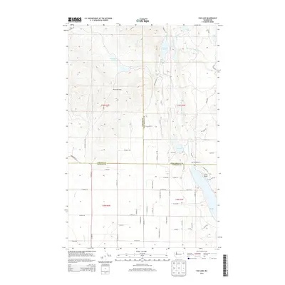
2014 Map of Fan Lake
USGS Topo · Published 2014About this map
Fan Lake and the northern reach of Eloika Lake anchor this 2014 survey of the borderlands where Stevens, Pend Oreille, and Spokane Counties converge. The hydrology of the region is defined by the W Br Little Spokane River, which connects a series of smaller water bodies including Horseshoe Lake, Blue Lake, and Black Lake. The terrain is marked by significant elevation changes, most notably at Porcupine Pass, which overlooks a landscape dotted with smaller basins like Ponderosa Lake and the interestingly named Devils Well.
Find a feature on this map
65 named features on this map. Tap any name to fly to it.
Don’t see what you’re looking for? This feature index may not catch every label — zoom into the map to look around manually.
Map Details
Editions of this 2014 Fan Lake Map
This is the sole edition of this map. No revisions or reprints were ever made.
Other maps of this area
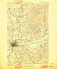
1901 · Spokane
USGS Topo · 1:125,000
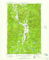
1927 · Chewelah
USGS Topo · 1:125,000
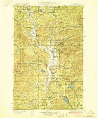
1930 · Chewelah
USGS Topo · 1:125,000
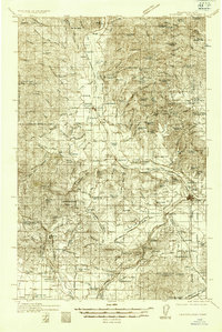
1936 · Newport
USGS Topo · 1:96,000
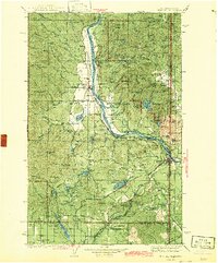
1942 · Newport
USGS Topo · 1:125,000
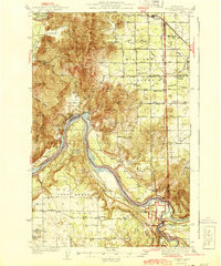
1944 · Clayton
USGS Topo · 1:62,500
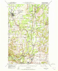
1949 · Deer Park
USGS Topo · 1:62,500
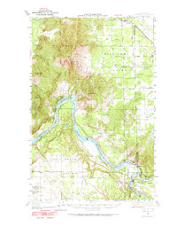
1950 · Clayton
USGS Topo · 1:62,500
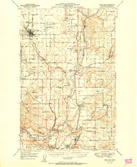
1951 · Deer Park
USGS Topo · 1:62,500
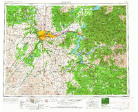
1955 · Spokane
USGS Topo · 1:250,000