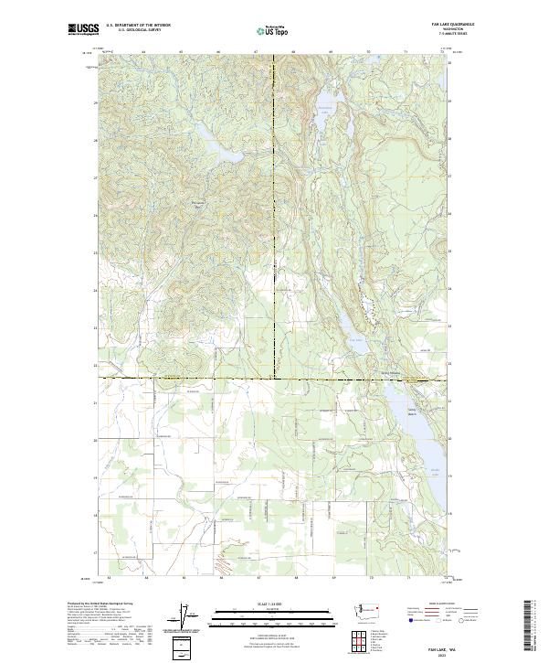
2023 Map of Fan Lake
USGS Topo · Published 2023About this map
Eloika Lake and Fan Lake serve as the primary geographical anchors for this section of the Inland Northwest, where the borders of Spokane, Stevens, and Pend Oreille counties meet. The landscape is defined by the West Branch Little Spokane River and a dense network of smaller water bodies including Horseshoe Lake, Blue Lake, and Black Lake. These drainages create a complex hydrological pattern across the transition from low-lying wetlands to the elevated terrain of Porcupine Pass.
Find a feature on this map
68 named features on this map. Tap any name to fly to it.
Don’t see what you’re looking for? This feature index may not catch every label — zoom into the map to look around manually.
Map Details
Editions of this 2023 Fan Lake Map
This is the sole edition of this map. No revisions or reprints were ever made.
Other maps of this area

1901 · Spokane
USGS Topo · 1:125,000

1927 · Chewelah
USGS Topo · 1:125,000

1930 · Chewelah
USGS Topo · 1:125,000

1936 · Newport
USGS Topo · 1:96,000

1942 · Newport
USGS Topo · 1:125,000

1944 · Clayton
USGS Topo · 1:62,500

1949 · Deer Park
USGS Topo · 1:62,500

1950 · Clayton
USGS Topo · 1:62,500

1951 · Deer Park
USGS Topo · 1:62,500

1955 · Spokane
USGS Topo · 1:250,000