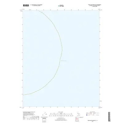
2018 Map of Farallon Islands OE E
USGS Topo · Published 2018About this map
Pacific Ocean waters dominate this 2018 survey of the marine environment west of the California coastline. Located in the open sea within the jurisdictional bounds of the City and County of San Francisco, the map focuses on the deep-water expanse of the Gulf of the Farallones. While the landmass of the islands themselves lies on adjacent sheets, this specific quadrant captures the nautical context and bathymetric area of the Pacific shelf, reflecting the maritime territory managed by the U.S. Geological Survey and the National Geospatial Program.
Find a feature on this map
1 named feature on this map. Tap any name to fly to it.
Don’t see what you’re looking for? This feature index may not catch every label — zoom into the map to look around manually.
Map Details
Editions of this 2018 Farallon Islands OE E Map
This is the sole edition of this map. No revisions or reprints were ever made.
Other maps of this area

1947 · San Francisco
USGS Topo · 1:250,000

1948 · San Francisco
USGS Topo · 1:250,000

1955 · San Francisco
USGS Topo · 1:250,000

1956 · San Francisco
USGS Topo · 1:250,000
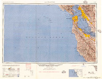
1957 · San Francisco
USGS Topo · 1:250,000
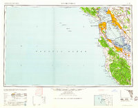
1960 · San Francisco
USGS Topo · 1:250,000
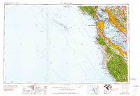
1961 · San Francisco
USGS Topo · 1:250,000
1964 · San Francisco
USGS Topo · 1:250,000
1971 · San Francisco
USGS Topo · 1:250,000
1978 · San Francisco
USGS Topo · 1:100,000