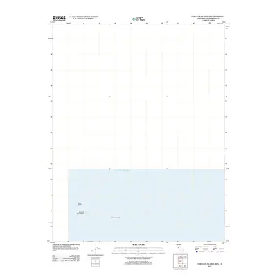
2012 Map of Farallon Islands OE N
USGS Topo · Published 2012About this map
Farallon Islands punctuate the vast expanse of the Pacific Ocean in this 2012 survey of the remote northern outliers of the Farallon chain. This maritime map documents the specific geographic placement of the North Farallon group and the Island of Saint James, which are critical landmarks for coastal navigation and wildlife conservation off the California coast. Produced by the U.S. Geological Survey, the chart focuses on the coordinate data and shoreline boundaries of these small, rocky landmasses, providing a clear reference for the isolation and rugged nature of this protected marine environment northwest of the mainland.
Find a feature on this map
4 named features on this map. Tap any name to fly to it.
Don’t see what you’re looking for? This feature index may not catch every label — zoom into the map to look around manually.
Map Details
Editions of this 2012 Farallon Islands OE N Map
This is the sole edition of this map. No revisions or reprints were ever made.
Other maps of this area

1947 · San Francisco
USGS Topo · 1:250,000

1948 · San Francisco
USGS Topo · 1:250,000

1955 · San Francisco
USGS Topo · 1:250,000

1956 · San Francisco
USGS Topo · 1:250,000
1957 · San Francisco
USGS Topo · 1:250,000
1960 · San Francisco
USGS Topo · 1:250,000
1961 · San Francisco
USGS Topo · 1:250,000
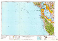
1964 · San Francisco
USGS Topo · 1:250,000
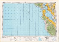
1971 · San Francisco
USGS Topo · 1:250,000
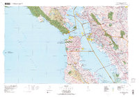
1978 · San Francisco
USGS Topo · 1:100,000