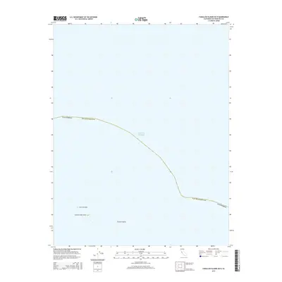
2015 Map of Farallon Islands OE N
USGS Topo · Published 2015About this map
The Pacific Ocean dominates this offshore survey, capturing a remote section of the Farallon Islands within the maritime jurisdiction of San Francisco County. This specific area focuses on the northernmost reaches of the archipelago, primarily documenting the rocky outcrops of North Farallon and the Island of Saint James. The map illustrates the boundary line that separates these isolated geologic features from the open sea, marking the edge of the California state line as it cuts through the water. Given the limited terrestrial area, the sheet serves as a specialized study of these protected islets, which are significant for their unique ecosystem and navigational importance to mariners approaching the San Francisco Bay.
Find a feature on this map
6 named features on this map. Tap any name to fly to it.
Don’t see what you’re looking for? This feature index may not catch every label — zoom into the map to look around manually.
Map Details
Editions of this 2015 Farallon Islands OE N Map
This is the sole edition of this map. No revisions or reprints were ever made.
Other maps of this area

1947 · San Francisco
USGS Topo · 1:250,000

1948 · San Francisco
USGS Topo · 1:250,000

1955 · San Francisco
USGS Topo · 1:250,000

1956 · San Francisco
USGS Topo · 1:250,000
1957 · San Francisco
USGS Topo · 1:250,000
1960 · San Francisco
USGS Topo · 1:250,000
1961 · San Francisco
USGS Topo · 1:250,000
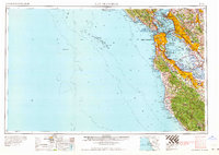
1964 · San Francisco
USGS Topo · 1:250,000
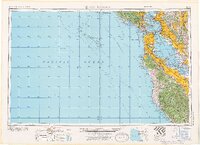
1971 · San Francisco
USGS Topo · 1:250,000
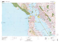
1978 · San Francisco
USGS Topo · 1:100,000