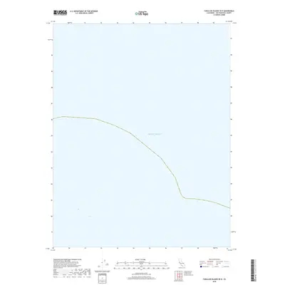
2018 Map of Farallon Islands OE N
USGS Topo · Published 2018About this map
The vast expanse of the Pacific Ocean dominates this maritime survey off the coast of San Francisco. The open waters represented here reflect the deep-sea environment surrounding the Farallon Islands chain, a critical ecological area designated for protection and research. While primarily showing the marine surface, the inclusion of bathymetric contours and the Pacific Ocean label indicates the map's role in navigation and environmental monitoring within the San Francisco County maritime boundaries during the late 2010s.
Find a feature on this map
1 named feature on this map. Tap any name to fly to it.
Don’t see what you’re looking for? This feature index may not catch every label — zoom into the map to look around manually.
Map Details
Editions of this 2018 Farallon Islands OE N Map
This is the sole edition of this map. No revisions or reprints were ever made.
Other maps of this area

1947 · San Francisco
USGS Topo · 1:250,000

1948 · San Francisco
USGS Topo · 1:250,000

1955 · San Francisco
USGS Topo · 1:250,000

1956 · San Francisco
USGS Topo · 1:250,000
1957 · San Francisco
USGS Topo · 1:250,000
1960 · San Francisco
USGS Topo · 1:250,000
1961 · San Francisco
USGS Topo · 1:250,000
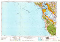
1964 · San Francisco
USGS Topo · 1:250,000
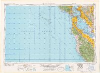
1971 · San Francisco
USGS Topo · 1:250,000
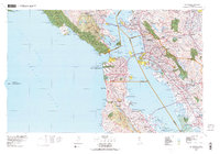
1978 · San Francisco
USGS Topo · 1:100,000