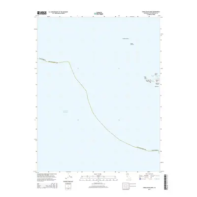
2015 Map of Farallon Islands
USGS Topo · Published 2015About this map
Southeast Farallon and its surrounding rocky outcroppings emerge from the Pacific Ocean in this coastal survey. Located within the jurisdiction of San Francisco County, these islands represent a stark maritime landscape far removed from the mainland. The geography is defined by sharp elevation changes at Tower Hill and Main Top, which overlook small inlets like Maintop Bay and Fisherman Bay.
Find a feature on this map
15 named features on this map. Tap any name to fly to it.
Don’t see what you’re looking for? This feature index may not catch every label — zoom into the map to look around manually.
Map Details
Editions of this 2015 Farallon Islands Map
This is the sole edition of this map. No revisions or reprints were ever made.
Other maps of this area

1947 · San Francisco
USGS Topo · 1:250,000

1948 · San Francisco
USGS Topo · 1:250,000

1955 · San Francisco
USGS Topo · 1:250,000

1956 · San Francisco
USGS Topo · 1:250,000
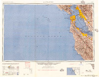
1957 · San Francisco
USGS Topo · 1:250,000
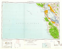
1960 · San Francisco
USGS Topo · 1:250,000
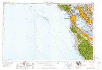
1961 · San Francisco
USGS Topo · 1:250,000
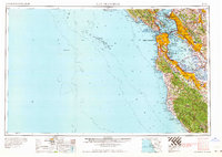
1964 · San Francisco
USGS Topo · 1:250,000
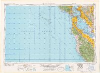
1971 · San Francisco
USGS Topo · 1:250,000
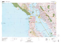
1978 · San Francisco
USGS Topo · 1:100,000