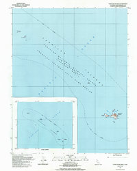
1988 Map of Farallon Islands
USGS Topo · Published 1988About this map
Southeast Farallon and its rugged neighbors stand as isolated landmarks within the Pacific Ocean in this late-twentieth-century study. The map detail highlights the sparse but critical infrastructure supporting maritime safety and research on the largest island, including a Radio Tower, a Derrick, and a Water Tank. These small rocky outcroppings, including the Isle of St James and North Farallon, are part of a protected environmental zone defined by the Farallon National Wildlife Refuge and a broader State Game Refuge.
Find a feature on this map
19 named features on this map. Tap any name to fly to it.
Don’t see what you’re looking for? This feature index may not catch every label — zoom into the map to look around manually.
Map Details
Editions of this 1988 Farallon Islands Map
This is the sole edition of this map. No revisions or reprints were ever made.
Other maps of this area

1947 · San Francisco
USGS Topo · 1:250,000

1948 · San Francisco
USGS Topo · 1:250,000

1955 · San Francisco
USGS Topo · 1:250,000

1956 · San Francisco
USGS Topo · 1:250,000
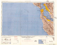
1957 · San Francisco
USGS Topo · 1:250,000
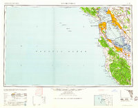
1960 · San Francisco
USGS Topo · 1:250,000
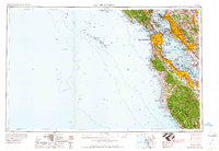
1961 · San Francisco
USGS Topo · 1:250,000
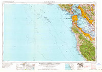
1964 · San Francisco
USGS Topo · 1:250,000
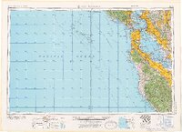
1971 · San Francisco
USGS Topo · 1:250,000
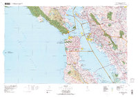
1978 · San Francisco
USGS Topo · 1:100,000