2022 Map of Farmington
USGS Topo · Published 2022About this map
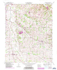
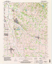
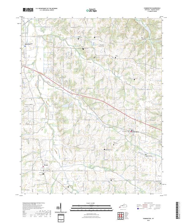
Mayfield Creek and its many tributaries, including Little Mayfield Cr, Vulton Cr, and Kess Cr, shape the agricultural landscape of Graves County. This modern survey illustrates the enduring rural settlement patterns of the region, where family-owned land and community centers persist along the Tennessee Valley Divide. The map is particularly notable for its dense concentration of historical burial sites, ranging from larger churchyards like the Bethany Missionary Baptist Church Cem and Harmony Primitive Baptist Church Cem to smaller, private sites such as the Nesler Family Cem and Barton Family Cem. The village of Farmington serves as a central hub, while the southern reaches near Sedalia and the outskirts of Mayfield show a network of county roads connecting established farmsteads and rural congregations like the Antioch Church of Christ Cem.
Find a feature on this map
101 named features on this map. Tap any name to fly to it.
Don’t see what you’re looking for? This feature index may not catch every label — zoom into the map to look around manually.
Map Details
Editions of this 2022 Farmington Map
This is the sole edition of this map. No revisions or reprints were ever made.
Historical Maps of Kentucky Through Time
4 maps found