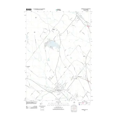
2012 Map of Farmington
USGS Topo · Published 2012About this map
Farmington serves as the primary hub of this Strafford County landscape, where the Cocheco River and Ela River converge. The settlement pattern reflects deep-rooted local history, with several distinctive corners and ridges such as Middleton Corners, New Durham Corner, and Nute Ridge marking the intersections of the regional road network. The landscape is a mix of water and high ground, anchored by Sunrise Lake and the elevations of Mount Jesse and Teneriffe Mountain. Notable for genealogists are the numerous family-named burial sites distributed across the township, including Whitehouse Cem, Wentworth Cem, and Nutes Ridge Cem. In the north, the village of Union sits along the Br River near the Branch River Reservoir, showcasing the area's historical reliance on its water systems for community placement and industry.
Find a feature on this map
127 named features on this map. Tap any name to fly to it.
Don’t see what you’re looking for? This feature index may not catch every label — zoom into the map to look around manually.
Map Details
Editions of this 2012 Farmington Map
This is the sole edition of this map. No revisions or reprints were ever made.
Other maps of this area

1891 · Berwick
USGS Topo · 1:62,500

1891 · Newfield
USGS Topo · 1:62,500

1893 · Berwick
USGS Topo · 1:62,500

1893 · Newfield
USGS Topo · 1:62,500

1919 · Alton
USGS Topo · 1:62,500

1928 · Wolfeboro
USGS Topo · 1:62,500

1933 · Berwick
USGS Topo · 1:48,000

1933 · Newfield
USGS Topo · 1:48,000

1937 · Newfield
USGS Topo · 1:62,500

1937 · Berwick
USGS Topo · 1:62,500