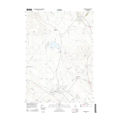
2015 Map of Farmington
USGS Topo · Published 2015About this map
Farmington and its surrounding hill country are defined by a network of small watercourses and family-named ridges along the Carroll Co Strafford Co line. The Cocheco River and its many tributaries, such as Dames Brook and Pokamoonshine Brook, dictated the placement of early settlements and industry. Evidence of the region’s hydraulic history remains at Waldron Mill Pond and the Br River Reservoir near Union.
Find a feature on this map
122 named features on this map. Tap any name to fly to it.
Don’t see what you’re looking for? This feature index may not catch every label — zoom into the map to look around manually.
Map Details
Editions of this 2015 Farmington Map
This is the sole edition of this map. No revisions or reprints were ever made.
Other maps of this area

1891 · Berwick
USGS Topo · 1:62,500

1891 · Newfield
USGS Topo · 1:62,500

1893 · Berwick
USGS Topo · 1:62,500

1893 · Newfield
USGS Topo · 1:62,500

1919 · Alton
USGS Topo · 1:62,500

1928 · Wolfeboro
USGS Topo · 1:62,500

1933 · Berwick
USGS Topo · 1:48,000

1933 · Newfield
USGS Topo · 1:48,000

1937 · Newfield
USGS Topo · 1:62,500

1937 · Berwick
USGS Topo · 1:62,500