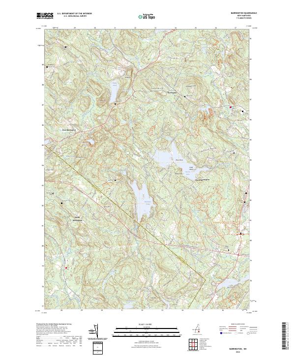
2024 Map of Farmington
USGS Topo · Published 2024About this map
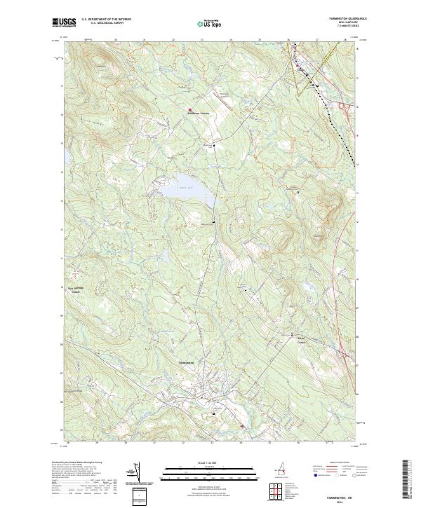
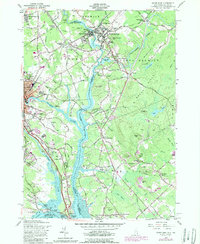
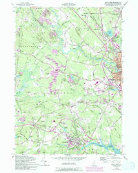
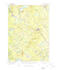
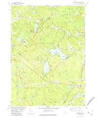
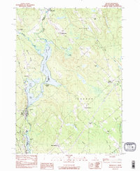
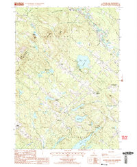
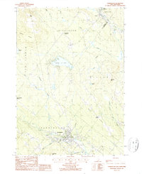
Farmington serves as the focal point of this Strafford County landscape, where the Cocheco River winds through the valley floor. The map illustrates a well-developed network of ridges and rural settlements, including New Durham Ridge and Middleton Corners. Water features define the local geography, from the expansive Sunrise Lake and Waldron Mill Pond to the smaller Currier Pond and Gould Pond. To the north, the terrain rises toward Mt Jesse and Birch Ridge, while Teneriffe Mtn stands to the east.
Find a feature on this map
124 named features on this map. Tap any name to fly to it.
Don’t see what you’re looking for? This feature index may not catch every label — zoom into the map to look around manually.
Map Details
Editions of this 2024 Farmington Map
This is the sole edition of this map. No revisions or reprints were ever made.
Historical Maps of Union Through Time
21 maps found
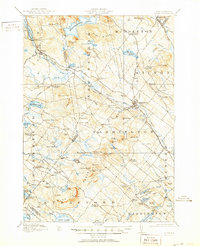
1919 Alton
Strafford County, NH
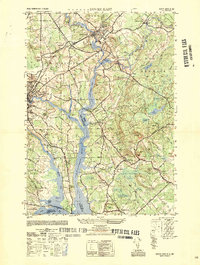
1950 Dover East
Strafford County, NH
1952 Dover West
Strafford County, NH
1956 Dover East
Strafford County, NH
1956 Dover West
Strafford County, NH
1957 Alton
Strafford County, NH
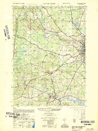
1977 Dover East
Strafford County, NH
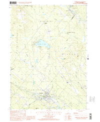
1981 Barrington
Strafford County, NH
1983 Milton
Strafford County, NH
1987 Baxter Lake
Strafford County, NH
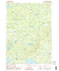
1987 Farmington
Strafford County, NH
1987 Parker Mountain
Strafford County, NH
1995 Barrington
Strafford County, NH
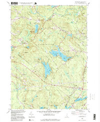
2000 Farmington
Strafford County, NH
2024 Barrington
Strafford County, NH
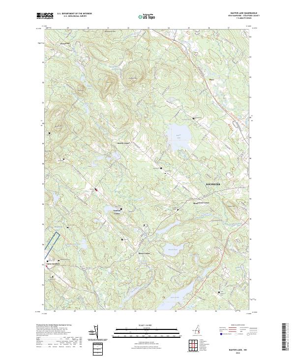
2024 Baxter Lake
Strafford County, NH
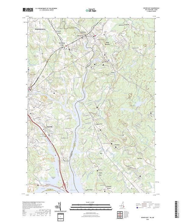
2024 Dover East
Strafford County, NH

2024 Dover West
Strafford County, NH
2024 Farmington
Strafford County, NH
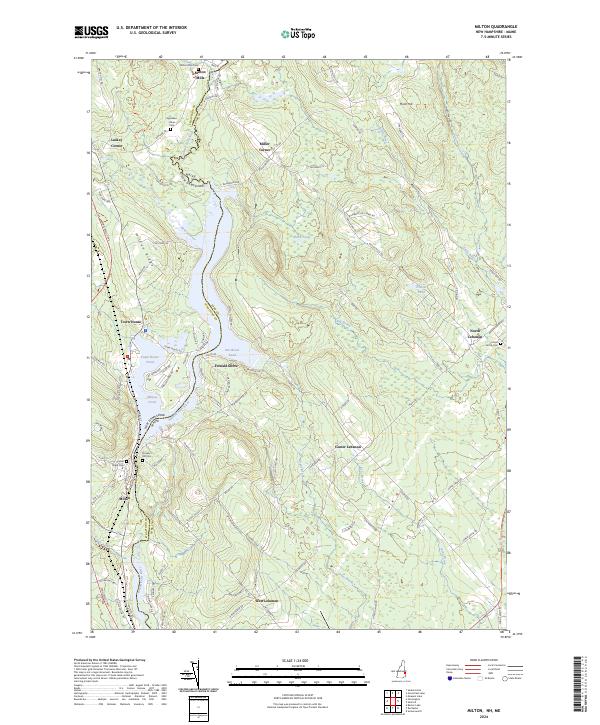
2024 Milton
Strafford County, NH
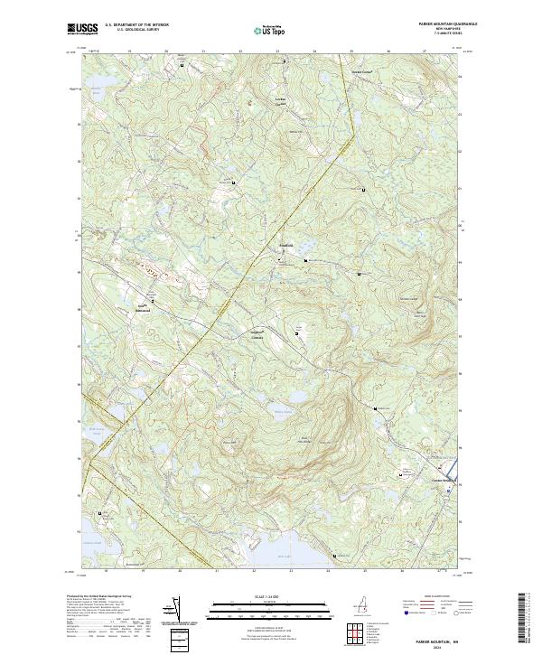
2024 Parker Mountain
Strafford County, NH