
1944 Map of Federalsburg
USGS Topo · Published 1944About this map
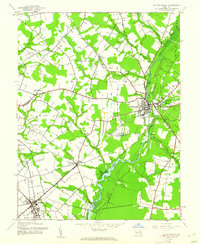
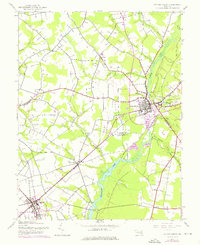
Marshyhope Creek serves as the central artery for this mid-century survey of the Maryland Eastern Shore, winding south through the heart of Federalsburg. The landscape is a patchwork of rural electoral districts like Federalsburg No 5 and Hurlock No 15, where the local economy transitions from the agricultural fields of American Corners No 8 to the industrial hubs of the Pennsylvania (Cambridge Branch) and Baltimore and Eastern railroads.
Find a feature on this map
39 named features on this map. Tap any name to fly to it.
Don’t see what you’re looking for? This feature index may not catch every label — zoom into the map to look around manually.
Map Details
Editions of this 1944 Federalsburg Map
3 editions found
Other maps of this area

1905 · Denton
USGS Topo · 1:62,500

1905 · Hurlock
USGS Topo · 1:62,500

1915 · Seaford
USGS Topo · 1:62,500

1918 · Harrington
USGS Topo · 1:62,500
1944 · Preston
USGS Topo · 1:31,680
1944 · East New Market
USGS Topo · 1:31,680

1944 · Seaford
USGS Topo · 1:62,500

1944 · Hobbs
USGS Topo · 1:31,680
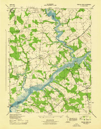
1944 · Fowling Creek
USGS Topo · 1:31,680
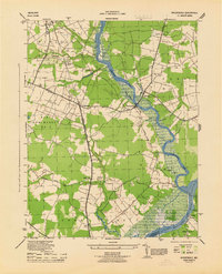
1944 · Rhodesdale
USGS Topo · 1:31,680