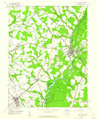
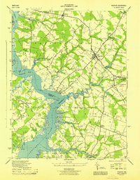
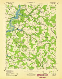
1944 Map of Federalsburg
USGS Topo · Published 1962About this map
Marshy Hope Creek anchors this mid-century landscape, winding south from the hub of Federalsburg through the timbered wetlands of the Eastern Shore. The map reflects a period where the river-and-rail economy remained vital, with the Baltimore and Eastern railroad cutting through the southwestern corner to serve Hurlock. This area at the Caroline Co Dorchester Co boundary is dotted with smaller agrarian settlements like Williamsburg, Nichols, and Hynson. Local life is recorded through landmarks such as Friendship Ch, Solomon Ch, and the High Sch in Hurlock. Notable for genealogists and researchers are the specific river crossings and landings, including Harrison Ferry Bridge and Browns Landing, which point to older patterns of travel and commerce before modern highway expansion.
Find a feature on this map
31 named features on this map. Tap any name to fly to it.
Don’t see what you’re looking for? This feature index may not catch every label — zoom into the map to look around manually.
Map Details
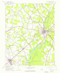
Editions of this 1944 Federalsburg Map
3 editions found
Other maps of this area

1905 · Denton
USGS Topo · 1:62,500

1905 · Hurlock
USGS Topo · 1:62,500
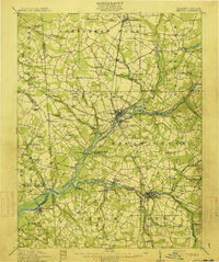
1915 · Seaford
USGS Topo · 1:62,500
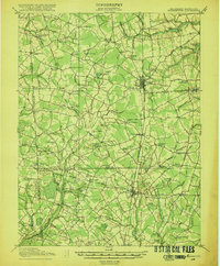
1918 · Harrington
USGS Topo · 1:62,500
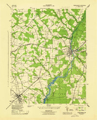
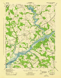
1944 · Preston
USGS Topo · 1:31,680
1944 · Federalsburg
USGS Topo · 1:31,680
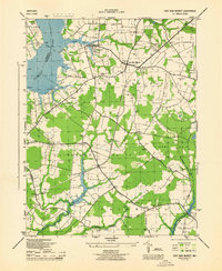
1944 · East New Market
USGS Topo · 1:31,680
1944 · Seaford
USGS Topo · 1:62,500
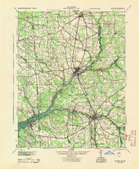
1944 · Hobbs
USGS Topo · 1:31,680
1944 · Fowling Creek
USGS Topo · 1:31,680